The Aerial Photography of Howdy McPhail
This collection of aerial photographs - taken with skill and precision by Howdy McPhail as he leaned out the window of a small aircraft - captures a moment in the life of the Canadian prairies. The images are primarily black and white and date to the 1950's and early 1960's. They include towns, cities, and individual farms identified by name of the town or the farmstead owner, and, frequently but not always, by township and range. These images were digitized from an extensive series of negatives and prints donated to the University Archives and Special Collections by Hugh McPhail, son of Howdy.
Howdy McPhail's photographs have been the subject of gallery exhibits and the focus of a book (Portraits of an Era: The Aerial Photography of Howdy McPhail, by Bill Waiser, 2010, Fifth House). They capture one's attention due to their crispness and clarity, as well as the stark openness of the prairie landscape which they portray. They document farms that once were, and villages that are now ghost towns. Collectively they are an invaluable record of post-war Canada prior to extensive urbanization and the emergence of the industrial scale farm.
We gratefully acknowledge a generous donation from the McPhail family which made this digitization project possible.
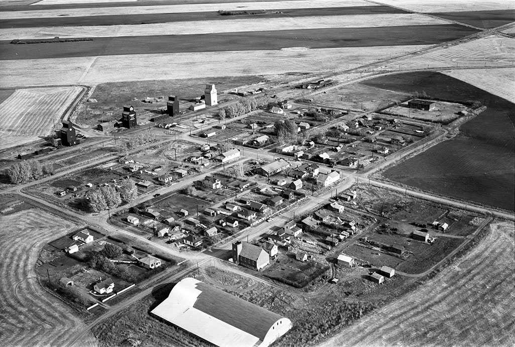
Bateman, Saskatchewan. A hamlet of SW Saskatchewan that no longer exists.
